
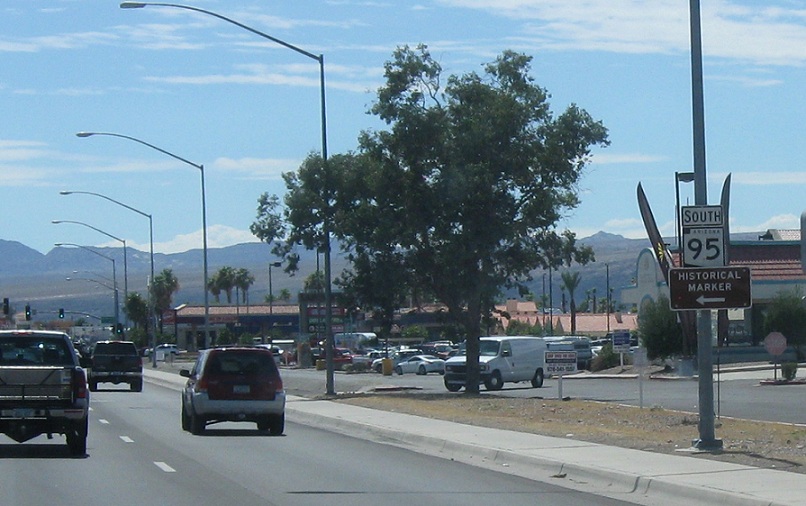
AMP: 246
Location: Mohave Valley Hwy and Silver Creek Rd, Bullhead City
No reassurance shield for a couple miles- the Bullhead City area is really long and skinny, so we’re still in Bullhead City
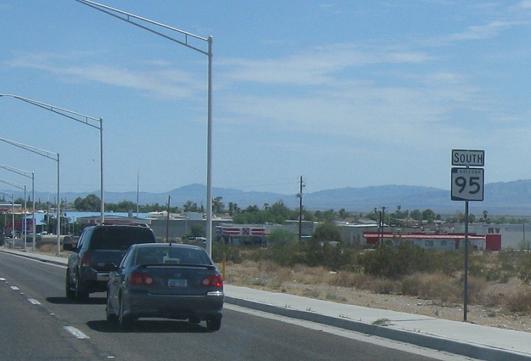
AMP: 243
Location: Mohave Valley Hwy and Oatman Rd, Bullhead City
Reassurance shield as we start to head out of Bullhead City
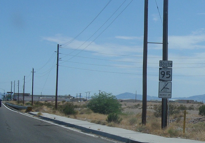
AMP: 237
Location: Mohave Valley Hwy and Aztec Rd, Fort Mohave, Mohave Cty
Reassurance shield as we head out of Bullhead City and into unincorporated Fort Mohave
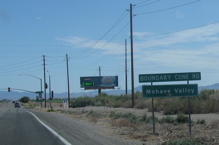
AMP: 234
Location: Mohave Valley Hwy and Boundary Cone Rd, Mohave Valley, Mohave Cty
About a mile later, we’ll enter unincorporated Mohave Valley
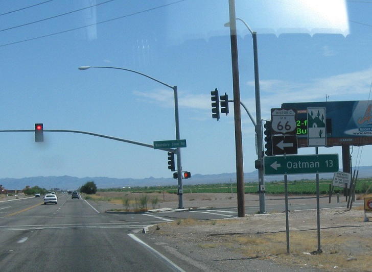
AMP: 234
Location: Mohave Valley Hwy and Boundary Cone Rd, Mohave Valley, Mohave Cty
Follow Boundary Cone Rd west for Old Route 66, which heads over to Oatman and down to Kingman. 66 west follows SR 95 down to Needles
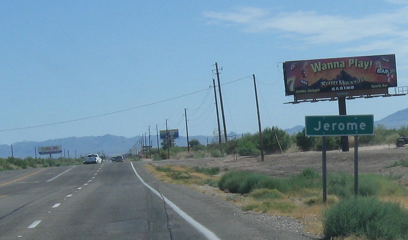
AMP: 230
Location: SR 95 and Willow Dr, Jerome, Mohave Cty
A couple miles after that, we’ll enter the Jerome area, which doesn’t appear to be anything
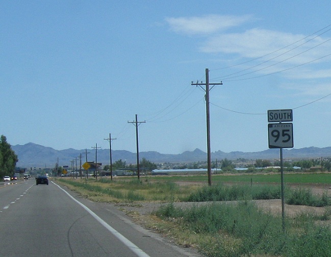
AMP: 227
Location: SR 95 and Courtwright Rd, Mohave Cty
Reassurance shield before the Courtwright Rd stoplight, visible in the distance
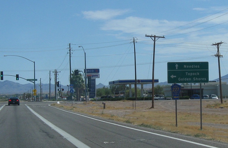
AMP: 227
Location: SR 95 and Courtwright Rd, Mohave Cty
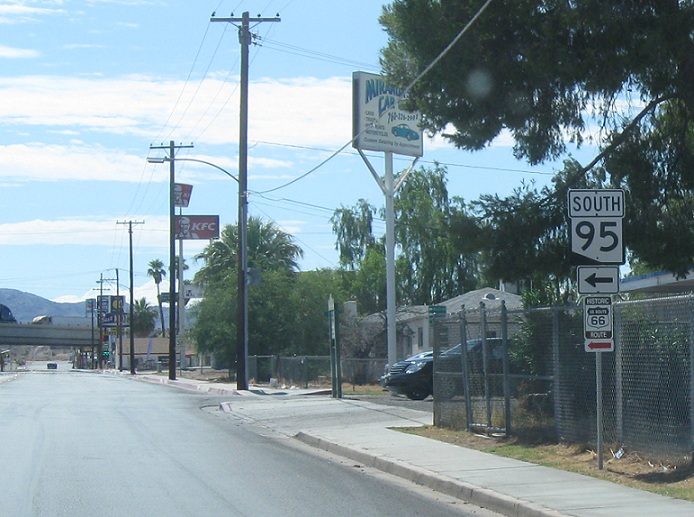
Turn left for CR 227 towards Topock and Golden Shores. Stay straight for SR 95. It used to be that you’d stay turn left for 95 south before that highway was rolled back to the county and stay straight for US-66 to Needles. Not anymore
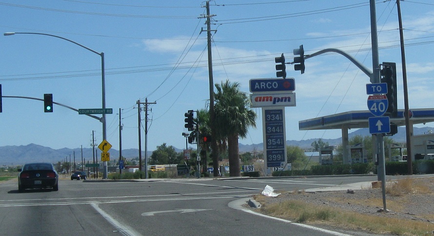
AMP: 227
Location: SR 95 and Courtwright Rd, Mohave Cty
Stay straight for I-40- techincally Interstate California 40, not Interstate Arizona 40, but whatever

AMP: 226
Location: SR 95 and Dike Rd, Mohave Cty
Just before the state line, we’re advised to stay straight for Interstate California 40. The bridge crosses into Needles.
STATE MAINTENANCE ENDS HERE. The signage down to I-40 Business is interesting, though, so we’ll pretend it doesn’t for purposes of this site
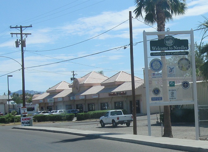
Location: K St and Bridge Rd, Needles CA
Welcome to Needles, California!
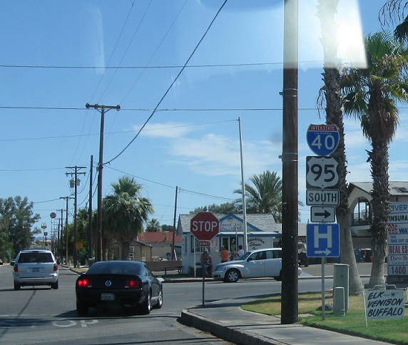
Location: K St and River Rd, Needles
Turn right here for I-40 and US-95 south. Note the non-cutout shield.
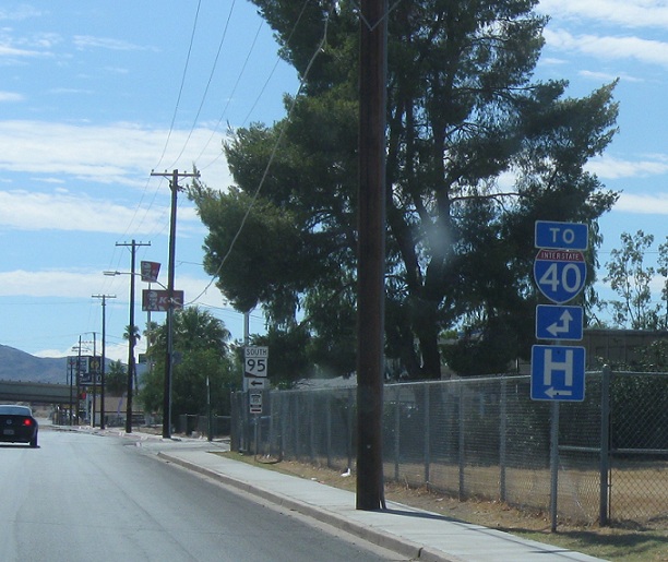
Location: River Rd and Broadway St, Needles CA
A couple blocks later we’ll approach I-40 Business, signed here as TO I-40. Stay straight for I-40 Business west and turn left for I-40 Business east
Location: River St and Broadway St, Needles CA
Follow 40 Business east for Arizona 95 and US-95 South- this is sort of a clever way to do it, since that’s an Arizona shield in California with the Arizona covered up. Turn left for Route 66 as well. That must be a different alignment that went through downtown Needles than the Oatman alignment. I’m not quite sure how that worked. Anyway, this segment of 95 ends. Follow I-40 business west to I-40 west to Arizona to SR 95 to continue on the route. California has really been a trooper in signing Arizona 95 given the confusingness of twin 95s.

 W to I-40/US-95, E to I-40/US-95

